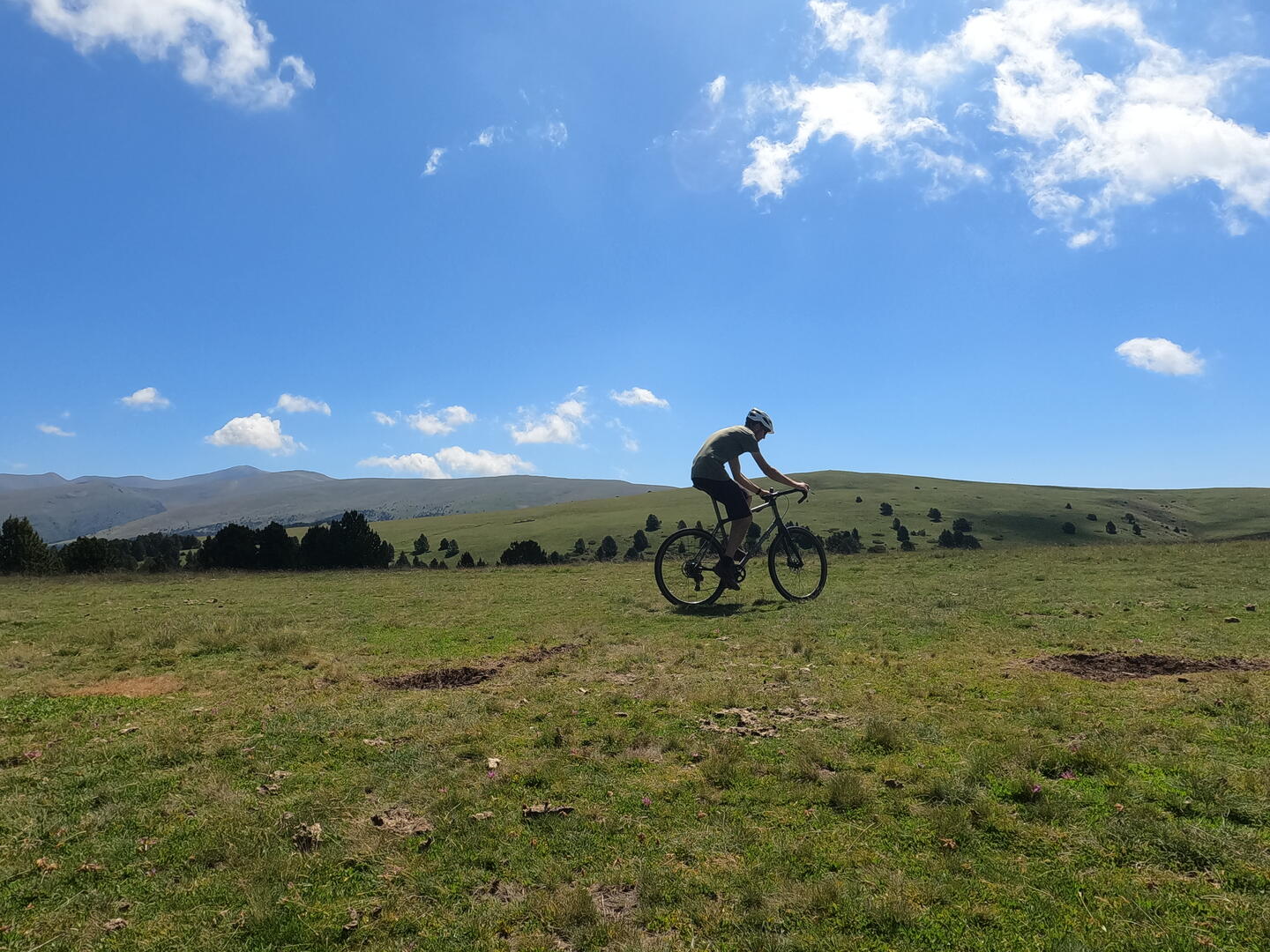
GOPR2733.JPG

GRAVEL 1

Gravel ,  Athletes in Llo
Unresolved hours
31.1 km
Loop
Gravel
3h 30min
Medium
  • Difference in height
    578.5 m
  • Documentation
    GPX / KML files allow you to export the trail of your hike to your GPS (or other navigation tool)
579 meters of difference in height
Created with Highcharts 6.2.0Distance (km)Altitude (m)0 km2.5 km5 km7.5 km10 km12.5 km15 km17.5 km20 km22.5 km25 km27.5 km1100 m1150 m1200 m1250 m1300 m1350 m1400 m1450 mHighcharts.com
  • Start altitude : 1218 m
  • End altitude : 1217 m
  • Maximum altitude : 1419 m
  • Minimum altitude : 1137 m
  • Total positive elevation : 579 m
  • Total negative elevation : -580 m
  • Max positive elevation : 148 m
  • Min positive elevation : -99 m