GRAVEL 2
Loop
,
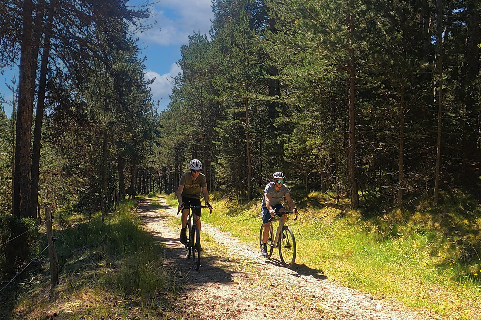
Gravel
in Targassonne
13.3
km
Loop
Gravel
2h
Medium
- 129 meters of difference in height
-
- Start altitude : 1139 m
- End altitude : 1138 m
- Maximum altitude : 1217 m
- Minimum altitude : 1137 m
- Total positive elevation : 129 m
- Total negative elevation : -130 m
- Max positive elevation : 16 m
- Min positive elevation : -18 m